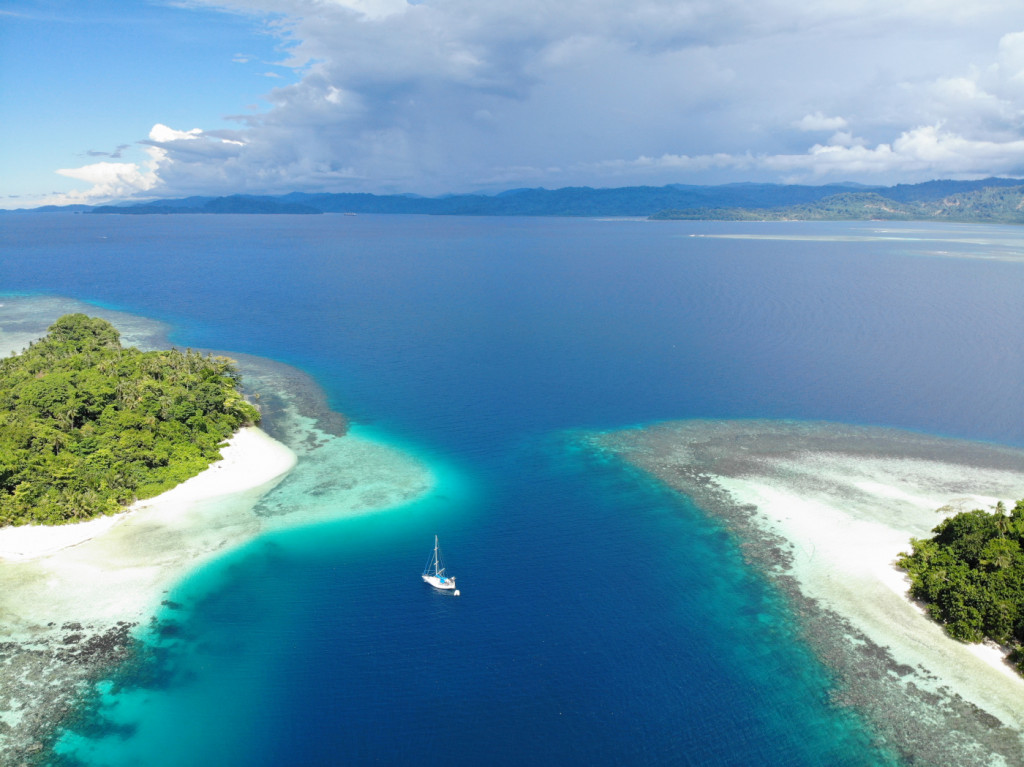
We hopped up the coast of Santa Isabel in daysails between 20 and 50 nautical miles. The island has a deeply submerged outer reef far off the coast and plenty of little reefs within that area. There aren’t any detailed charts for the area here and to find decent satellite images we are usually switching between different providers (Google, Bing and ArcGis) and even then there are patches of coast where one set of sat images is cloudy, the other one doesn’t have high resolution and the third shows no pics at all. We always kept a look-out and still had some slightly exciting moments when the depth sounder was counting up from 100 to 10 metres with the water showing the same dark colour and no obvious path through invisible shallows while rushing downwind with 7 knots in 20 knots of wind, the genoa already reefed to the size of a towel and NO BREAKS on Pitufa ![]()
As always we tried to stay away from the mainland with its mangrove bays and crocodiles and tried to find anchorages out on islets offshore where the water is clear enough to go for a snorkel and we found some pretty spots!
The coast of Santa Isabel is mostly uninhabited, only scattered tiny villages dot the shore and the mountains and hills look pristine from afar. Nevertheless the sat images shows a maze of roads up into the forest–looks like the islanders have sold out their land to the mainly Malaysian logging companies…
The overflow of nutrients caused by erosion on the bare land (of course the companies don’t reforest) may well be the reason why many of the coral reefs here are overgrown by algae despite the lack of pollution (with only small, scattered settlements around).


